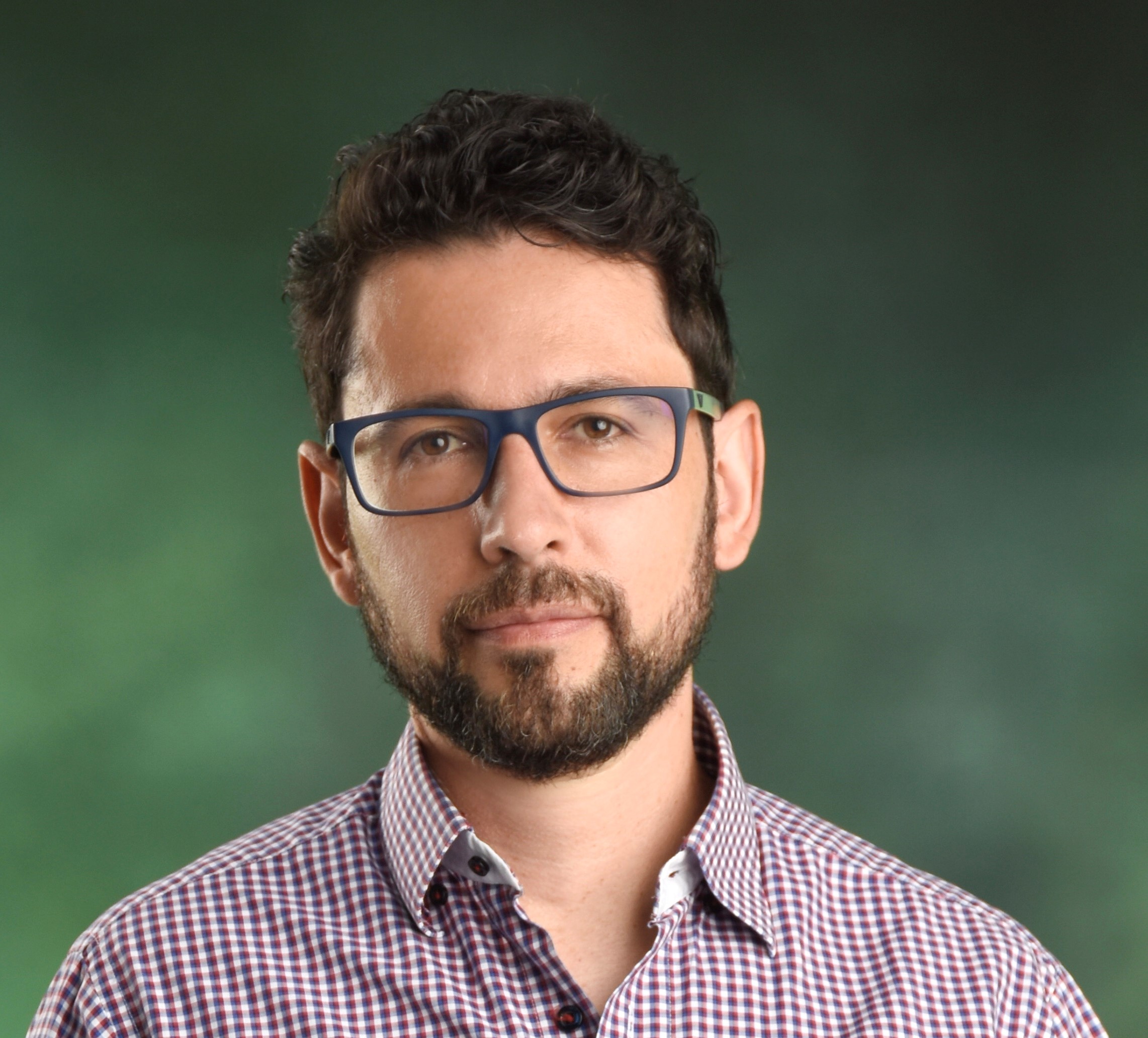
About Dr. Diego F. Cuadros
Epidemiologist, Health Geographer, and Data Scientist

Dr. Diego F. Cuadros, Ph.D.
Associate Professor, University of Cincinnati
Co-Director, Digital Epidemiology Lab
Download CVBiography & Mission
Born and raised in Bogotá, Colombia, Dr. Diego F. Cuadros earned his B.Sc. in Biology from the National University of Colombia, followed by a Ph.D. in Biology from the University of Kentucky. His doctoral research on HIV epidemiology in sub-Saharan Africa cultivated his passion for quantitative epidemiology and health geography.
Dr. Cuadros's mission is to bridge academic rigor with real-world impact. He uses interdisciplinary approaches that connect geography, epidemiology, and computational methods to address global health issues, translating complex data into actionable insights for policymakers and the public.
Research Pillars
Pioneering research on HIV/AIDS, COVID-19, and Hepatitis C, focusing on co-infections, transmission dynamics, and intervention strategies in high-risk populations.
Utilizing GIS and spatial analysis to map disease hotspots, uncover environmental/social determinants of health, and analyze geographic disparities in healthcare access.
Leveraging large datasets, computational models, and high-performance computing to simulate epidemic trajectories and predict health outcomes under various scenarios.
Analyzing the spatial and temporal evolution of the U.S. opioid crisis, identifying demographic shifts and geographic drivers to inform targeted public health interventions.
Career Trajectory
Technical Expertise
Geographic Information Systems (GIS)
Spatial Statistics & Modeling
Mathematical & Computational Epidemiology
Data Science & High-Performance Computing
Global Research Footprint
My research spans five continents, involving over a dozen institutions and data partnerships. This interactive map highlights key projects where I've applied spatial science, modeling, and AI to solve real-world public health challenges—from HIV hotspots in southern Africa to predictive dashboards in U.S. urban centers.
Loading Interactive Map...